Back in 2018, LUNA software client, the New York City Municipal Archive (NYCMA) embarked on a project with Luna’s Imaging Services team to digitize 720k nitrate negatives from 35mm still camera film spliced together onto 1000-foot reels. While accessible in LUNA through the NYCMA site, these photos have recently been utilized in 2 GIS projects which illustrate how maps can be utilized for improved discovery.
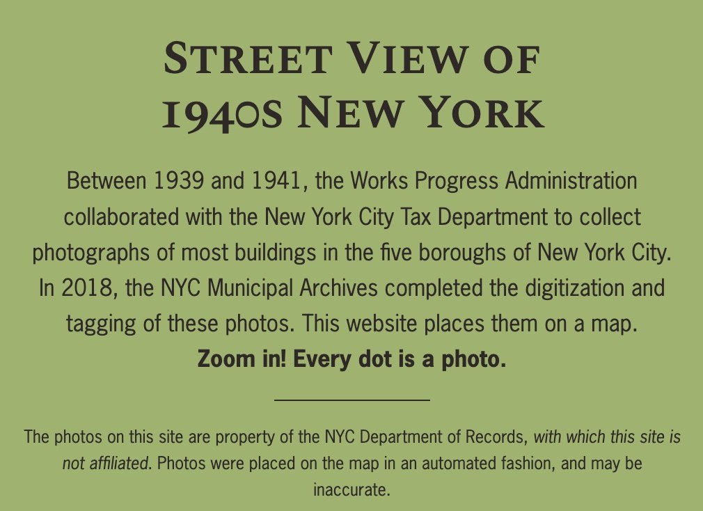
The first project, by Julian Boilen, Street View of 1940s New York, enables user to locate the tax photos on a 2D map of all 5 boroughs. Users can switch between map preferences and contribute their own Stories about places they know.
The second project, by Daniel H. Watts, Tax Photo: Time Warp, is focused on an area of Manhattan below 14th Street, and utilizes a 3D map for discovery. Daniel works for the NYC Landmarks Preservation Commission and created this project as a proof-of-concept for future projects.


